

DatuFly Professional app for iPhone and iPad
DatuFly is a professional drone imagery app for surveying and 3D modeling. It provides simple drone flight planning and automated, high-resolution photo shooting for mapping, 3D object modeling, and measurement. DatuFly is designed for use in construction site management and all construction industries.
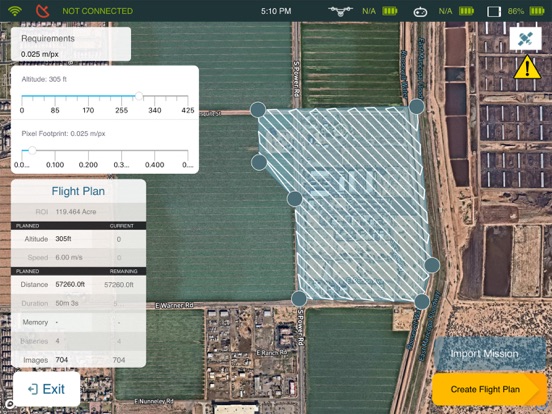
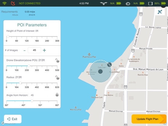
DatuFly features an intuitive user interface for creating missions that automatically guide the drone to capture optimized aerial images to generate 2D and 3D maps and models. The apps flight patterns are based on surveying and construction industry best practices. DatuFly app minimizes field surveying time and cuts down surveying expenses.
Features and benefits:
- Simple and intuitive user interface
- Designed specifically for tablets
- Fully automated operation, from job type optimization to automatic photo shooting
- Vertical and oblique photo shooting and mission planning
- Multiple batterys support per project (exchange battery & resume mission)
- Workflows optimized for land surveying and construction progress tracking
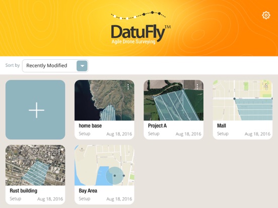
- Multi-projects support
- Pre-flight checks and calibrations
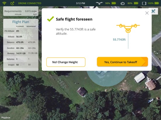
- Harmless field surveying, keeping the surveyors and operators safe
- Drone safety wizards
- Analytics
- Mission planning projections
- Real-time mission data and imagery stream
- Emergency landing and RTH
- Offline flight capabilities
- Chinese language support
- Aligned with DatuBIM imagery best practices
DatuFly is compatible with the DJI Phantom 4 and 4 ProAdvanced, Phantom 3 Professional, Inspire 1 Pro, Inspire 2, and Matrice 600